Introduction
Welcome to the new LocalWiki for Cudgegong Valley History!
LocalWIki is a grassroots effort to collect, share and open the world’s local knowledge. We want anyone, anywhere to be able to learn about where they live — their local government, the history of their neighbourhoods, streets, social movements, noteworthy local figures, social services, schools – every facet of life in their community. And we believe that this vast collection of local knowledge should be created by the people who know it best - individual community members working together.
Cudgegong Valley Region
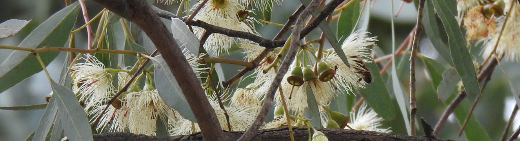
The Cudgegong river rises of the western slopes of the Great Dividing Range within Wollemi National Park, east of Rylstone, and flows generally west, north-west, and south-west, joined by fourteen tributaries, including Wyaldra Creek and Lawsons Creek, before reaching its confluence with the Macquarie River at Burrendong; Dam descending 425 metres (1,394 ft) over its 250-kilometre (160 m) course.
Index to pages on this wiki can be found here
Click on Explore at the top to see what's here now.
You can edit this and any other page by clicking the Edit button.
Need help? Please see the help page on the LocalWiki Guide!
Some interesting pages
Explore nearby regions
Or maybe you want to see all LocalWiki regions?

